
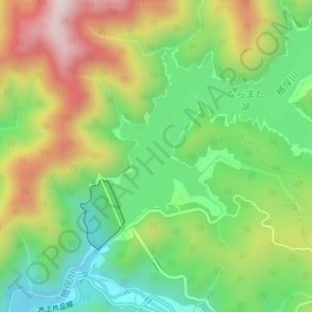
楢俣川 topographic map
Interactive map
Click on the map to display elevation.
About this map
Name: 楢俣川 topographic map, elevation, terrain.
Location: 楢俣川, みなかみ町, 利根郡, 群馬県, 379-1721, 日本 (36.88590 139.08351 36.88739 139.08432)
Average elevation: 952 m
Minimum elevation: 735 m
Maximum elevation: 1,260 m
Other topographic maps
Click on a map to view its topography, its elevation and its terrain.