
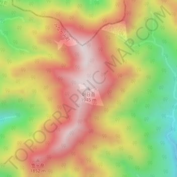
朝日岳 topographic map
Interactive map
Click on the map to display elevation.
About this map
Name: 朝日岳 topographic map, elevation, terrain.
Location: 朝日岳, みなかみ町, 利根郡, 群馬県, 日本 (36.88062 138.97259 36.88072 138.97269)
Average elevation: 1,617 m
Minimum elevation: 1,229 m
Maximum elevation: 1,933 m
Other topographic maps
Click on a map to view its topography, its elevation and its terrain.