
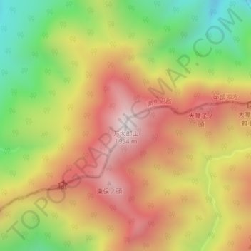
万太郎山 topographic map
Interactive map
Click on the map to display elevation.
About this map
Name: 万太郎山 topographic map, elevation, terrain.
Location: 万太郎山, みなかみ町, 利根郡, 群馬県, 日本 (36.82412 138.87917 36.82422 138.87927)
Average elevation: 1,487 m
Minimum elevation: 967 m
Maximum elevation: 1,939 m
Other topographic maps
Click on a map to view its topography, its elevation and its terrain.