
大源太山 topographic map
Interactive map
Click on the map to display elevation.
About this map
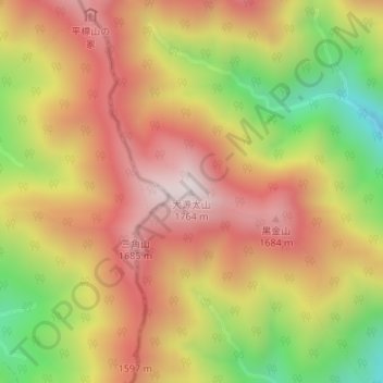
Name: 大源太山 topographic map, elevation, terrain.
Location: 大源太山, みなかみ町, 利根郡, 群馬県, 日本 (36.79424 138.83369 36.79434 138.83379)
Average elevation: 1,398 m
Minimum elevation: 940 m
Maximum elevation: 1,747 m
Other topographic maps
Click on a map to view its topography, its elevation and its terrain.