
ならまた湖 topographic map
Interactive map
Click on the map to display elevation.
About this map
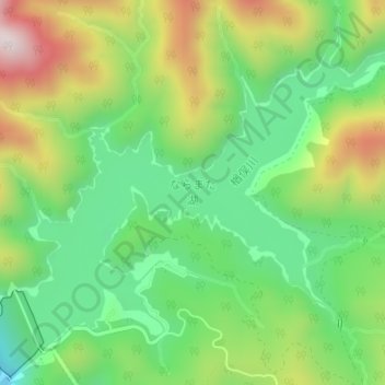
Name: ならまた湖 topographic map, elevation, terrain.
Location: ならまた湖, みなかみ町, 利根郡, 群馬県, 日本 (36.88071 139.07909 36.90220 139.11217)
Average elevation: 968 m
Minimum elevation: 749 m
Maximum elevation: 1,312 m
Other topographic maps
Click on a map to view its topography, its elevation and its terrain.