
谷川岳 トマノ耳 topographic map
Interactive map
Click on the map to display elevation.
About this map
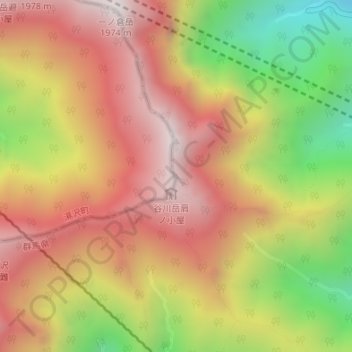
Name: 谷川岳 トマノ耳 topographic map, elevation, terrain.
Location: 谷川岳 トマノ耳, みなかみ町, 利根郡, 群馬県, 日本 (36.83434 138.93016 36.83444 138.93026)
Average elevation: 1,476 m
Minimum elevation: 819 m
Maximum elevation: 1,970 m
Other topographic maps
Click on a map to view its topography, its elevation and its terrain.