
東山 topographic map
Interactive map
Click on the map to display elevation.
About this map
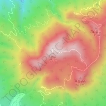
Name: 東山 topographic map, elevation, terrain.
Location: 東山, 東京都, 日本 (33.09203 139.81217 33.09213 139.81227)
Average elevation: 425 m
Minimum elevation: 101 m
Maximum elevation: 692 m
Other topographic maps
Click on a map to view its topography, its elevation and its terrain.