
乳房山 topographic map
Interactive map
Click on the map to display elevation.
About this map
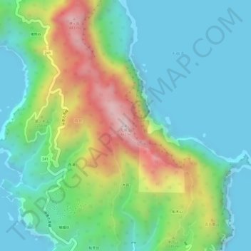
Name: 乳房山 topographic map, elevation, terrain.
Location: 乳房山, 東京都, 日本 (26.65946 142.16140 26.65956 142.16150)
Average elevation: 139 m
Minimum elevation: 0 m
Maximum elevation: 446 m
Other topographic maps
Click on a map to view its topography, its elevation and its terrain.