
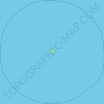
南鳥島 topographic map
Interactive map
Click on the map to display elevation.
About this map
Name: 南鳥島 topographic map, elevation, terrain.
Location: 南鳥島, 小笠原村, 小笠原支庁, 東京都, 日本 (24.07755 153.75220 24.49014 154.20554)
Average elevation: 0 m
Minimum elevation: 0 m
Maximum elevation: 11 m
一辺が約2キロメートルの三角形の平坦な島であり、最高地点の標高は9メートル。島の周囲はサンゴ礁で浅くなっているが、潮流が速く泳ぐのは危険である。この海域は北西太平洋海盆に含まれ、島の周囲は深い海に囲まれており、他のどの陸地からも1,000キロメートル以上離れている。サンゴ礁の外側は水深1,000メートルの断崖となる。
Other topographic maps
Click on a map to view its topography, its elevation and its terrain.