
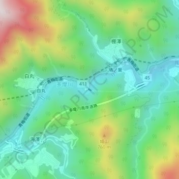
白丸調整池ダム topographic map
Interactive map
Click on the map to display elevation.
About this map
Name: 白丸調整池ダム topographic map, elevation, terrain.
Location: 白丸調整池ダム, 棚澤, 奥多摩町, 西多摩郡, 東京都, 日本 (35.81089 139.12371 35.81116 139.12419)
Average elevation: 491 m
Minimum elevation: 253 m
Maximum elevation: 1,002 m
Other topographic maps
Click on a map to view its topography, its elevation and its terrain.