
姉島 topographic map
Interactive map
Click on the map to display elevation.
About this map
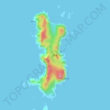
Name: 姉島 topographic map, elevation, terrain.
Location: 姉島, 小笠原支庁, 東京都, 日本 (26.54317 142.15083 26.56498 142.16135)
Average elevation: 9 m
Minimum elevation: -2 m
Maximum elevation: 117 m
Other topographic maps
Click on a map to view its topography, its elevation and its terrain.