
祇苗島 topographic map
Interactive map
Click on the map to display elevation.
About this map
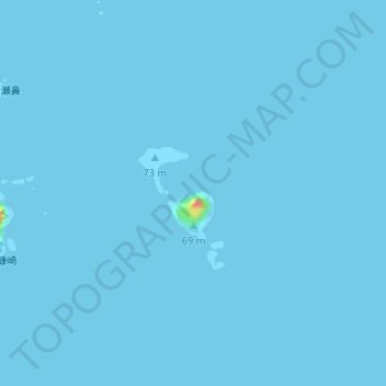
Name: 祇苗島 topographic map, elevation, terrain.
Location: 祇苗島, 神津島村, 大島支庁, 東京都, 日本 (34.20596 139.18668 34.21253 139.19310)
Average elevation: 0 m
Minimum elevation: -1 m
Maximum elevation: 53 m
Other topographic maps
Click on a map to view its topography, its elevation and its terrain.