
摺鉢山 topographic map
Interactive map
Click on the map to display elevation.
About this map
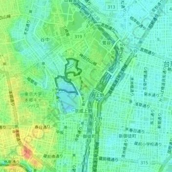
Name: 摺鉢山 topographic map, elevation, terrain.
Location: 摺鉢山, 東京都, 110-0007, 日本 (35.71381 139.77395 35.71391 139.77405)
Average elevation: 17 m
Minimum elevation: 3 m
Maximum elevation: 44 m
Other topographic maps
Click on a map to view its topography, its elevation and its terrain.