
神通川 topographic map
Interactive map
Click on the map to display elevation.
About this map
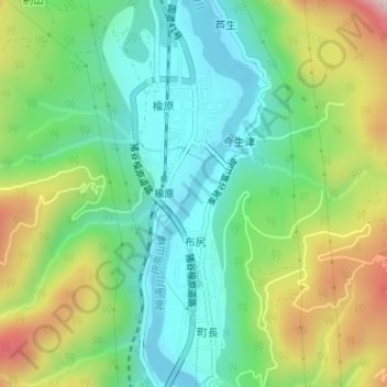
Name: 神通川 topographic map, elevation, terrain.
Location: 神通川, 布尻, 富山市, 富山県, 939-2192, 日本 (36.52599 137.22952 36.53006 137.23263)
Average elevation: 278 m
Minimum elevation: 115 m
Maximum elevation: 592 m
Other topographic maps
Click on a map to view its topography, its elevation and its terrain.