
イタドリ谷川 topographic map
Interactive map
Click on the map to display elevation.
About this map
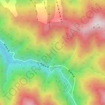
Name: イタドリ谷川 topographic map, elevation, terrain.
Location: イタドリ谷川, 富山市, 富山県, 930-1455, 日本 (36.54950 137.43032 36.55618 137.43274)
Average elevation: 892 m
Minimum elevation: 462 m
Maximum elevation: 1,288 m
Other topographic maps
Click on a map to view its topography, its elevation and its terrain.