
祖父岳 topographic map
Interactive map
Click on the map to display elevation.
About this map
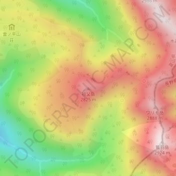
Name: 祖父岳 topographic map, elevation, terrain.
Location: 祖父岳, 富山市, 富山県, 日本 (36.41113 137.59111 36.41123 137.59121)
Average elevation: 2,568 m
Minimum elevation: 2,147 m
Maximum elevation: 2,914 m
祖父岳(じいだけ)は、富山県富山市にある山である。飛騨山脈の雲ノ平の東に位置しており標高は2,825m。
Other topographic maps
Click on a map to view its topography, its elevation and its terrain.