
古洞ダム topographic map
Interactive map
Click on the map to display elevation.
About this map
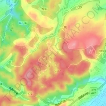
Name: 古洞ダム topographic map, elevation, terrain.
Location: 古洞ダム, 富山市, 富山県, 939-0395, 日本 (36.65931 137.10468 36.65941 137.10478)
Average elevation: 93 m
Minimum elevation: 31 m
Maximum elevation: 138 m
Other topographic maps
Click on a map to view its topography, its elevation and its terrain.