
有峰湖 topographic map
Interactive map
Click on the map to display elevation.
About this map
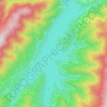
Name: 有峰湖 topographic map, elevation, terrain.
Location: 有峰湖, 富山市, 富山県, 日本 (36.44609 137.42052 36.49076 137.45960)
Average elevation: 1,241 m
Minimum elevation: 991 m
Maximum elevation: 1,634 m
Other topographic maps
Click on a map to view its topography, its elevation and its terrain.