
御前山 topographic map
Interactive map
Click on the map to display elevation.
About this map
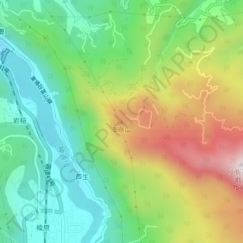
Name: 御前山 topographic map, elevation, terrain.
Location: 御前山, 富山市, 富山県, 939-2192, 日本 (36.54591 137.23936 36.54601 137.23946)
Average elevation: 335 m
Minimum elevation: 91 m
Maximum elevation: 740 m
Other topographic maps
Click on a map to view its topography, its elevation and its terrain.