
常願寺川 topographic map
Interactive map
Click on the map to display elevation.
About this map
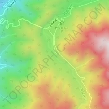
Name: 常願寺川 topographic map, elevation, terrain.
Location: 常願寺川, 富山市, 富山県, 日本 (36.47339 137.47203 36.47595 137.47381)
Average elevation: 1,434 m
Minimum elevation: 1,081 m
Maximum elevation: 1,812 m
Other topographic maps
Click on a map to view its topography, its elevation and its terrain.