
鷲岳 topographic map
Interactive map
Click on the map to display elevation.
About this map
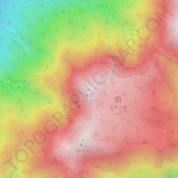
Name: 鷲岳 topographic map, elevation, terrain.
Location: 鷲岳, 富山市, 富山県, 日本 (36.54183 137.58709 36.54193 137.58719)
Average elevation: 2,197 m
Minimum elevation: 1,532 m
Maximum elevation: 2,599 m
Other topographic maps
Click on a map to view its topography, its elevation and its terrain.