
久婦須川 topographic map
Interactive map
Click on the map to display elevation.
About this map
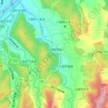
Name: 久婦須川 topographic map, elevation, terrain.
Location: 久婦須川, 富山市, 富山県, 929-2398, 日本 (36.55763 137.14246 36.58552 137.16080)
Average elevation: 143 m
Minimum elevation: 68 m
Maximum elevation: 259 m
Other topographic maps
Click on a map to view its topography, its elevation and its terrain.