
久婦須川ダム topographic map
Interactive map
Click on the map to display elevation.
About this map
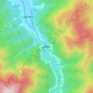
Name: 久婦須川ダム topographic map, elevation, terrain.
Location: 久婦須川ダム, 富山市, 富山県, 日本 (36.51020 137.18619 36.51095 137.18885)
Average elevation: 490 m
Minimum elevation: 258 m
Maximum elevation: 856 m
Other topographic maps
Click on a map to view its topography, its elevation and its terrain.