
有峰ダム topographic map
Interactive map
Click on the map to display elevation.
About this map
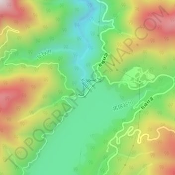
Name: 有峰ダム topographic map, elevation, terrain.
Location: 有峰ダム, 富山市, 富山県, 日本 (36.48815 137.44639 36.49106 137.45084)
Average elevation: 1,192 m
Minimum elevation: 914 m
Maximum elevation: 1,591 m
Other topographic maps
Click on a map to view its topography, its elevation and its terrain.