
平谷山 topographic map
Interactive map
Click on the map to display elevation.
About this map
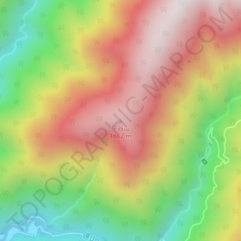
Name: 平谷山 topographic map, elevation, terrain.
Location: 平谷山, 飯田市, 長野県, 日本 (35.40115 138.05313 35.40125 138.05323)
Average elevation: 1,232 m
Minimum elevation: 701 m
Maximum elevation: 1,725 m
Other topographic maps
Click on a map to view its topography, its elevation and its terrain.