
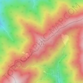
易老岳 topographic map
Interactive map
Click on the map to display elevation.
About this map
Name: 易老岳 topographic map, elevation, terrain.
Location: 易老岳, 飯田市, 長野県, 日本 (35.36037 138.10709 35.36047 138.10719)
Average elevation: 2,026 m
Minimum elevation: 1,514 m
Maximum elevation: 2,402 m
Other topographic maps
Click on a map to view its topography, its elevation and its terrain.