
下村 topographic map
Interactive map
Click on the map to display elevation.
About this map
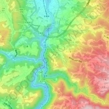
Name: 下村 topographic map, elevation, terrain.
Location: 下村, 飯田市, 長野県, 中部地方, 399-2431, 日本 (35.40586 137.80106 35.44586 137.84106)
Average elevation: 507 m
Minimum elevation: 357 m
Maximum elevation: 690 m
Other topographic maps
Click on a map to view its topography, its elevation and its terrain.