
小道木・熊野神社 topographic map
Interactive map
Click on the map to display elevation.
About this map
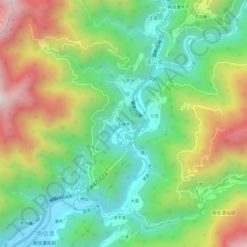
Name: 小道木・熊野神社 topographic map, elevation, terrain.
Location: 小道木・熊野神社, 飯田市, 長野県, 中部地方, 399-1401, 日本 (35.32039 137.93004 35.36039 137.97004)
Average elevation: 772 m
Minimum elevation: 398 m
Maximum elevation: 1,399 m
Other topographic maps
Click on a map to view its topography, its elevation and its terrain.