
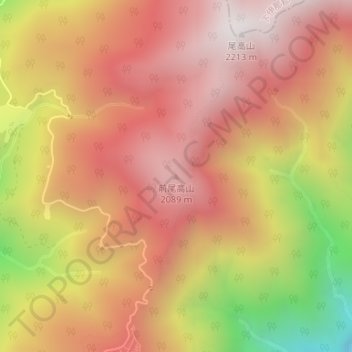
前尾高山 topographic map
Interactive map
Click on the map to display elevation.
About this map
Name: 前尾高山 topographic map, elevation, terrain.
Location: 前尾高山, 飯田市, 長野県, 399-1403, 日本 (35.44682 138.03288 35.44692 138.03298)
Average elevation: 1,738 m
Minimum elevation: 941 m
Maximum elevation: 2,198 m
Other topographic maps
Click on a map to view its topography, its elevation and its terrain.