
朝日山 topographic map
Interactive map
Click on the map to display elevation.
About this map
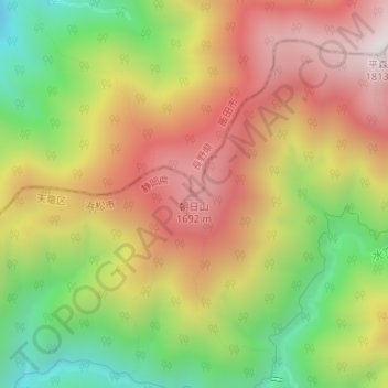
Name: 朝日山 topographic map, elevation, terrain.
Location: 朝日山, 飯田市, 長野県, 日本 (35.28267 137.96642 35.28277 137.96652)
Average elevation: 1,326 m
Minimum elevation: 811 m
Maximum elevation: 1,802 m
Other topographic maps
Click on a map to view its topography, its elevation and its terrain.