
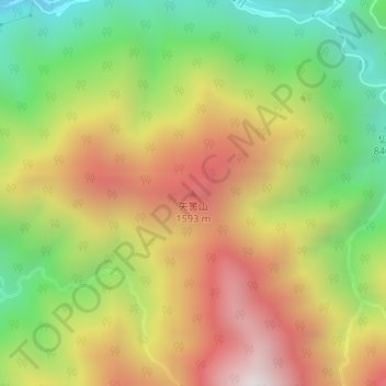
矢筈山 topographic map
Interactive map
Click on the map to display elevation.
About this map
Name: 矢筈山 topographic map, elevation, terrain.
Location: 矢筈山, 飯田市, 長野県, 日本 (35.37399 138.04619 35.37409 138.04629)
Average elevation: 1,212 m
Minimum elevation: 664 m
Maximum elevation: 1,796 m
Other topographic maps
Click on a map to view its topography, its elevation and its terrain.