
加加森山 topographic map
Interactive map
Click on the map to display elevation.
About this map
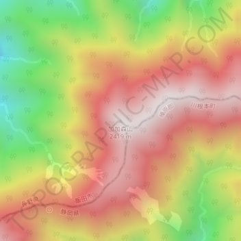
Name: 加加森山 topographic map, elevation, terrain.
Location: 加加森山, 飯田市, 長野県, 日本 (35.34458 138.05466 35.34468 138.05476)
Average elevation: 1,978 m
Minimum elevation: 1,396 m
Maximum elevation: 2,408 m
Other topographic maps
Click on a map to view its topography, its elevation and its terrain.