
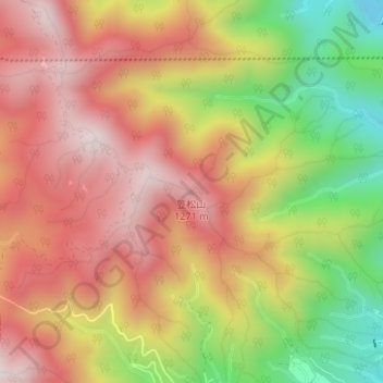
笠松山 topographic map
Interactive map
Click on the map to display elevation.
About this map
Name: 笠松山 topographic map, elevation, terrain.
Location: 笠松山, 飯田市, 長野県, 395-0157, 日本 (35.51867 137.76132 35.51877 137.76142)
Average elevation: 1,044 m
Minimum elevation: 678 m
Maximum elevation: 1,315 m
Other topographic maps
Click on a map to view its topography, its elevation and its terrain.