
神ノ峯 topographic map
Interactive map
Click on the map to display elevation.
About this map
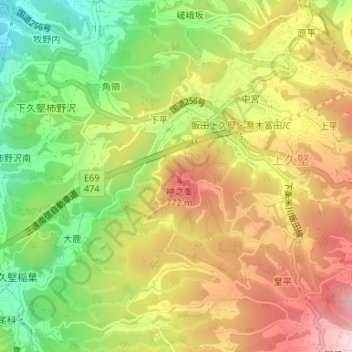
Name: 神ノ峯 topographic map, elevation, terrain.
Location: 神ノ峯, 飯田市, 長野県, 399-2606, 日本 (35.45963 137.87118 35.45973 137.87128)
Average elevation: 649 m
Minimum elevation: 483 m
Maximum elevation: 813 m
Other topographic maps
Click on a map to view its topography, its elevation and its terrain.