
光岳 topographic map
Interactive map
Click on the map to display elevation.
About this map
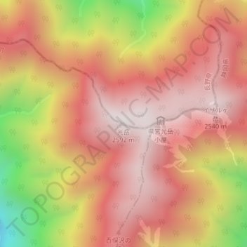
Name: 光岳 topographic map, elevation, terrain.
Location: 光岳, 飯田市, 長野県, 日本 (35.33814 138.08374 35.33824 138.08384)
Average elevation: 2,190 m
Minimum elevation: 1,490 m
Maximum elevation: 2,564 m
Other topographic maps
Click on a map to view its topography, its elevation and its terrain.