
茶臼岳 topographic map
Interactive map
Click on the map to display elevation.
About this map
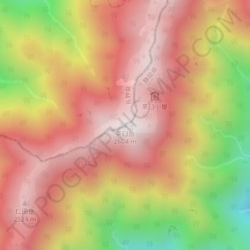
Name: 茶臼岳 topographic map, elevation, terrain.
Location: 茶臼岳, 飯田市, 長野県, 日本 (35.36909 138.14035 35.36919 138.14045)
Average elevation: 2,178 m
Minimum elevation: 1,545 m
Maximum elevation: 2,574 m
Other topographic maps
Click on a map to view its topography, its elevation and its terrain.