
松川湖 topographic map
Interactive map
Click on the map to display elevation.
About this map
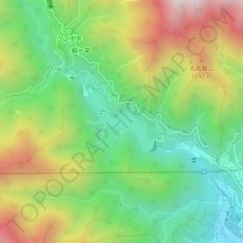
Name: 松川湖 topographic map, elevation, terrain.
Location: 松川湖, 飯田市, 長野県, 日本 (35.53039 137.76913 35.53717 137.77836)
Average elevation: 885 m
Minimum elevation: 546 m
Maximum elevation: 1,394 m
Other topographic maps
Click on a map to view its topography, its elevation and its terrain.