
摺古木山 topographic map
Interactive map
Click on the map to display elevation.
About this map
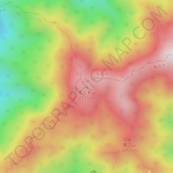
Name: 摺古木山 topographic map, elevation, terrain.
Location: 摺古木山, 飯田市, 長野県, 日本 (35.61209 137.73056 35.61219 137.73066)
Average elevation: 1,879 m
Minimum elevation: 1,463 m
Maximum elevation: 2,196 m
Other topographic maps
Click on a map to view its topography, its elevation and its terrain.