
中山 topographic map
Interactive map
Click on the map to display elevation.
About this map
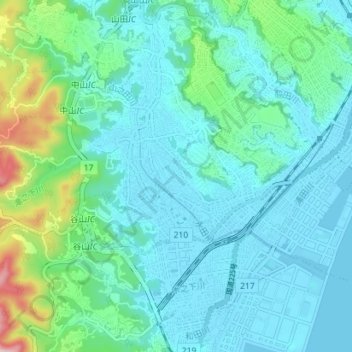
Name: 中山 topographic map, elevation, terrain.
Location: 中山, 鹿児島市, 鹿児島県, 892-8677, 日本 (31.51966 130.44632 31.55580 130.51693)
Average elevation: 58 m
Minimum elevation: -3 m
Maximum elevation: 329 m
Other topographic maps
Click on a map to view its topography, its elevation and its terrain.