
玉里町 topographic map
Interactive map
Click on the map to display elevation.
About this map
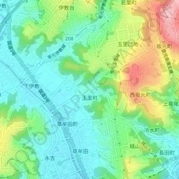
Name: 玉里町 topographic map, elevation, terrain.
Location: 玉里町, 鹿児島市, 鹿児島県, 892-8677, 日本 (31.60902 130.53809 31.61598 130.54832)
Average elevation: 54 m
Minimum elevation: 0 m
Maximum elevation: 169 m
Other topographic maps
Click on a map to view its topography, its elevation and its terrain.