
脇田川 topographic map
Interactive map
Click on the map to display elevation.
About this map
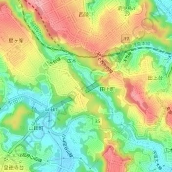
Name: 脇田川 topographic map, elevation, terrain.
Location: 脇田川, 鹿児島市, 鹿児島県, 892-8677, 日本 (31.56530 130.49932 31.57786 130.51415)
Average elevation: 65 m
Minimum elevation: 10 m
Maximum elevation: 127 m
Other topographic maps
Click on a map to view its topography, its elevation and its terrain.