
玉里団地 topographic map
Interactive map
Click on the map to display elevation.
About this map
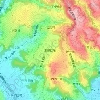
Name: 玉里団地 topographic map, elevation, terrain.
Location: 玉里団地, 鹿児島市, 鹿児島県, 892-8677, 日本 (31.61436 130.53938 31.62477 130.55307)
Average elevation: 82 m
Minimum elevation: 3 m
Maximum elevation: 177 m
Other topographic maps
Click on a map to view its topography, its elevation and its terrain.