
新町 topographic map
Interactive map
Click on the map to display elevation.
About this map
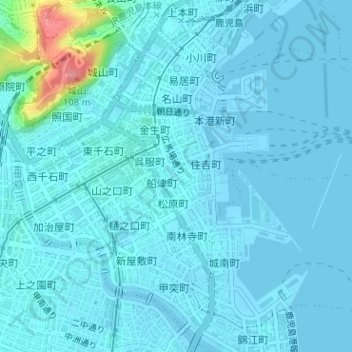
Name: 新町 topographic map, elevation, terrain.
Location: 新町, 鹿児島市, 鹿児島県, 892-8677, 日本 (31.58832 130.55786 31.59028 130.56027)
Average elevation: 10 m
Minimum elevation: -2 m
Maximum elevation: 104 m
Other topographic maps
Click on a map to view its topography, its elevation and its terrain.