
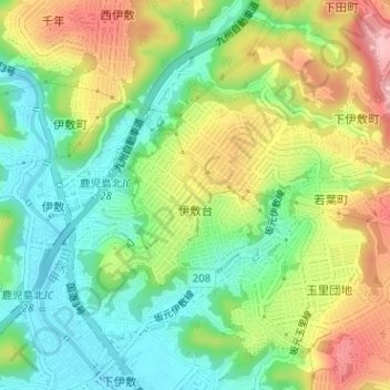
伊敷台 topographic map
Interactive map
Click on the map to display elevation.
About this map
Name: 伊敷台 topographic map, elevation, terrain.
Location: 伊敷台, 鹿児島市, 鹿児島県, 892-8677, 日本 (31.61880 130.52698 31.63317 130.55476)
Average elevation: 67 m
Minimum elevation: 4 m
Maximum elevation: 158 m
Other topographic maps
Click on a map to view its topography, its elevation and its terrain.