
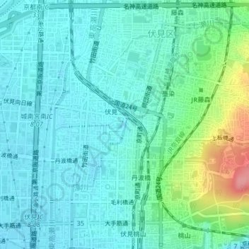
鴨川運河 topographic map
Interactive map
Click on the map to display elevation.
About this map
Name: 鴨川運河 topographic map, elevation, terrain.
Location: 鴨川運河, 新町十三丁目, 伏見区, 京都市, 京都府, 612-8085, 日本 (34.94331 135.76319 34.94390 135.76334)
Average elevation: 33 m
Minimum elevation: 13 m
Maximum elevation: 109 m
Other topographic maps
Click on a map to view its topography, its elevation and its terrain.