
八丁川 topographic map
Interactive map
Click on the map to display elevation.
About this map
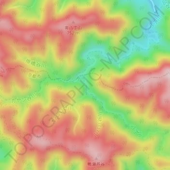
Name: 八丁川 topographic map, elevation, terrain.
Location: 八丁川, 右京区, 京都市, 京都府, 日本 (35.25480 135.68181 35.25725 135.68343)
Average elevation: 620 m
Minimum elevation: 424 m
Maximum elevation: 767 m
Other topographic maps
Click on a map to view its topography, its elevation and its terrain.