
池 topographic map
Interactive map
Click on the map to display elevation.
About this map
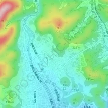
Name: 池 topographic map, elevation, terrain.
Location: 池, 上賀茂西後藤町, 北区, 京都市, 京都府, 日本 (35.07214 135.74948 35.07240 135.74984)
Average elevation: 151 m
Minimum elevation: 83 m
Maximum elevation: 339 m
Other topographic maps
Click on a map to view its topography, its elevation and its terrain.