
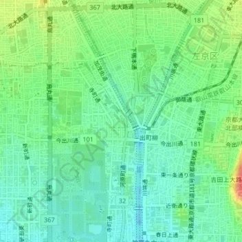
相生町 topographic map
Interactive map
Click on the map to display elevation.
About this map
Name: 相生町 topographic map, elevation, terrain.
Location: 相生町, 上京区, 京都市, 京都府, 602-0827, 日本 (35.03044 135.76847 35.03188 135.76949)
Average elevation: 62 m
Minimum elevation: 45 m
Maximum elevation: 94 m
Other topographic maps
Click on a map to view its topography, its elevation and its terrain.