
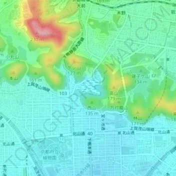
深泥池 topographic map
Interactive map
Click on the map to display elevation.
About this map
Name: 深泥池 topographic map, elevation, terrain.
Location: 深泥池, 北区, 京都市, 京都府, 日本 (35.05713 135.76731 35.05980 135.77254)
Average elevation: 99 m
Minimum elevation: 65 m
Maximum elevation: 211 m
Other topographic maps
Click on a map to view its topography, its elevation and its terrain.