
南区 topographic map
Interactive map
Click on the map to display elevation.
About this map
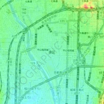
Name: 南区 topographic map, elevation, terrain.
Location: 南区, 京都市, 京都府, 日本 (34.94179 135.70482 34.98580 135.76784)
Average elevation: 22 m
Minimum elevation: 10 m
Maximum elevation: 57 m
Other topographic maps
Click on a map to view its topography, its elevation and its terrain.